Civil Engineering
 Specialists in geospatial engineering surveys for the mapping of land and infrastructure that cannot be safely accessed using conventional survey methods.
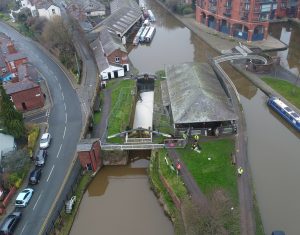
Geoterra provides specialist geospatial engineering surveys for the mapping of land and infrastructure that cannot be safely accessed using conventional survey methods.
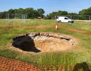
When sites are considered hazardous, confined, or inaccessible, our team deploys advanced subsurface, remote, and UAV technologies to capture accurate, reliable data safely and efficiently.
We are a market leader in subsurface laser scanning of underground voids, supported by our remote access, aerial LiDAR, and aerial ortho-photogrammetry surveying services.
The fully georeferenced, 3D survey data we provide underpins informed engineering decisions, from risk assessment and remediation planning to construction delivery and long-term asset management.