Unrivalled experience and expertise for any civil engineering project – delivering innovative land surveying solutions which address the challenges of your project.
Geoterra offers full-service capabilities for a wide range of civil engineering projects and, as a result, projects are managed effectively and efficiently.
Our land surveying experience includes diverse projects within the fields of roads, rail and bridges, waterways and canals, energy and utilities through to mining, minerals and waste.
We support a wide variety of clients including consulting engineers, building and civil engineering contractors, developers, mining and mineral operators, public authorities and legal professionals, delivering a service tailored to our client’s specific needs.
Our land surveying services for civil engineering projects include:
- Consultancy & Project Management
- Geospatial Engineering
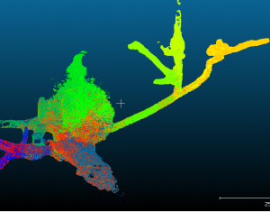
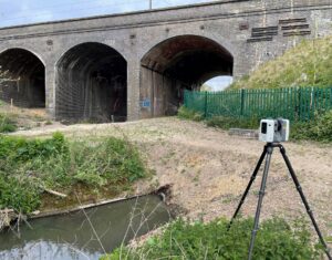
- 3D Laser Scanning
- 3D Modelling & Visualisation
- Mobile Mapping
- Subsurface Laser Scan Surveys
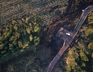
- UAV Aerial Surveys & Inspections
- UAV Aerial LiDAR Surveys
- Sonar Surveys
- HD CCTV Surveys
- Ground Penetrating Radar Surveys
- Expert Witness

 Civil Engineering


