Specialist land surveying services to support the expansion of the UK’s energy sector infrastructure and maintenance of assets.
The UK’s energy sector is experiencing unprecedented change with significant investment required to address supply, climate change and security.
Geoterra works closely with energy operators, consulting engineers and contractors to support the expansion of the energy sectors infrastructure and ongoing maintenance of its assets.
We offer a broad range of land surveying services to clients in the energy sector with a proven track record in the following fields:
- Wind Farms
- Power Stations
- Solar Farms
- Gas & Electricity
- Pylons
- Hydro-Electric Power Stations
- Wave & Tidal
We are often involved in pre-construction surveys for planning purposes, and are widely known for the production of outstanding 3D models of assets for refurbishment and redesign.
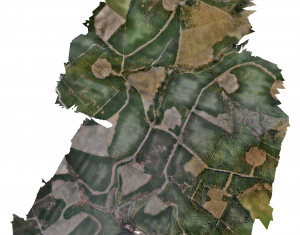
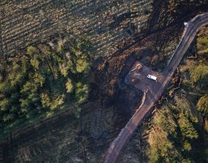
Our team of qualified, experienced and CAA-licensed UAV pilots can provide a fast, cost-effective aerial survey, mapping and photogrammetry service using fixed-wing UAV technology, and carry out inspection of assets using multi-rotor UAVs equipped with high-definition cameras.
Our specialist land surveying services for the energy sector include:
- Consultancy & Project Management
- Geospatial Engineering:
- 3D Laser Scanning
- 3D Modelling & Visualisation
- Mobile Mapping
- Subsurface Laser Scan Surveys
- UAV Aerial Surveys & Inspections
- UAV Aerial LiDAR Surveys
- Sonar Surveys
- HD CCTV Surveys
- Ground Penetrating Radar Surveys
- Expert Witness

 Civil Engineering


