
Items Tagged subsurface laser scanning surveys

18Sep

Mark Hudson Geoterra Mark Hudson presents white paper at Chalk 2018 Conference

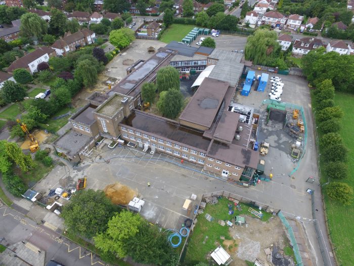
Our managing director, Mark Hudson had the privilege to present a white paper alongside Stuart Chandler from Peter Brett Associates LLP at the Chalk 2018 Conference. The paper ‘Historical Chalk Mines Below Pinner Wood School’ examined the ground investigations and surveys of historical chalk mine workings beneath a community primary school in Pinner, Middlesex and…

14Sep

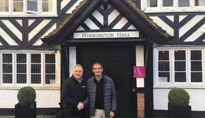
New strategic partnership with Flodim to provide a unique underground mapping solution
We are pleased to announce that Geoterra and France-based Flodim, award-winning developers and providers of underground cavity services, have formed a new strategic partnership. The partnership brings together two industry-leading firms to execute specialist underground investigation projects in the UK and Ireland; Geoterra with its unique capabilities in the surveying of dry voids, cavities and…

02Aug

Mark Hudson to present technical paper at Chalk 2018 Conference

Our Managing Director, Mark Hudson has been invited to present a technical paper at the Chalk 2018 Conference. His presentation titled ‘London Chalk Mines – What Lies Beneath?’ will explain how Geoterra’s specialist team of geospatial engineers used revolutionary subsurface laser scanning technology to determine the full extent and volume of the unmapped chalk mines…

08Sep

Land Surveyors - Geoterra Double celebrations for chartered land surveyors Geoterra!

It gives us great pleasure to officially announce the launch of the new Geoterra website: geoterra.co.uk. What’s more, we are launching this new site as we celebrate our first year in business – and what a year it has been for our team of land surveyors and geospatial engineers! Let’s take a look at some…